New PRC rules require geodata from connected cars to stay in China
Two mandatory standards taking effect in October 2027 set security rules for the location and sensor data connected cars collect.

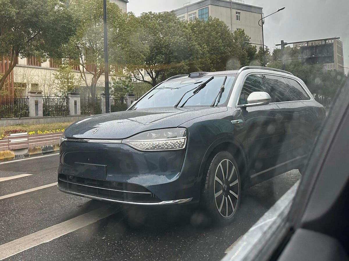
China is building a mandatory rulebook for connected and self-driving cars, and its newest rules treat the location and sensor data those cars gather as a security matter for the country's mapping regulator. Two national standards on that data and the sensors collecting it take effect on Oct. 1, 2027.
The pair, GB 48319-2026 and GB 48320-2026, was approved in a Sept. 28 announcement. The State Administration for Market Regulation (国家市场监督管理总局, SAMR) listed them among 515 standards and guidance documents it announced on Oct. 23. The Ministry of Natural Resources (自然资源部), which oversees surveying and mapping, supervises GB 48319, its official record shows.
The Ministry of Industry and Information Technology (工业和信息化部, MIIT) said in 2024 that China's first three mandatory standards for connected cars, on cybersecurity, software updates and automated-driving data recorders, would take effect on Jan. 1, 2026, Jiemian reported (界面新闻). The cybersecurity standard took effect on that date, and new models seeking type approval must meet it, the testing firm TÜV SÜD said in January. MIIT has also put a mandatory vehicle data security standard out for comment until Dec. 19, the Beijing News reported (新京报) on Oct. 20.
In the 2024 comment drafts, location and map-building data would need state-approved confidentiality processing before a car stores it or sends it out, the drafters wrote in an explanatory note. Data leaving the car could go only to destinations in China. The drafts applied to connected cars sold to the public and driven in China, not to carmakers' test vehicles or mapping firms' survey cars.
Stored point-cloud, location-linked image and map-building data could cover at most 10 km (about 6 miles) of continuous road and 200 km (about 124 miles) in all. Sensors would need an independent off switch and could not collect magnetic data, under the draft of the sensor standard.
The mapping ministry already classed such data collection as surveying in a 2022 notice, the drafters noted. Under the 2024 drafts, images collected to train driving systems were left out for now if they weren't linked to location data and stayed within the storage limits, the drafters wrote, after checking with the regulator.
Sources: 市场监管总局 State Administration for Market Regulation, 市场监管总局 SAMR (mandatory standards announcement), 市场监管总局 SAMR (recommended standards announcement), 全国标准信息公共服务平台 National Public Service Platform for Standards Information, GB 48319 draft explanatory note (copy on smejs.cn), GB 48319 comment draft (copy on smejs.cn), GB 48320 draft explanatory note (copy on smejs.cn), 新京报 The Beijing News, 界面新闻 Jiemian, TÜV SÜD (technical update)
Editor: Ian Lamont